Distance-to-poll visualization

“My friend Peter”, as I refer to him frequently in anecdotes around the house, has posted a few fascinating visualizations of how far people need to travel to vote in the upcoming Prince Edward Island provincial election.
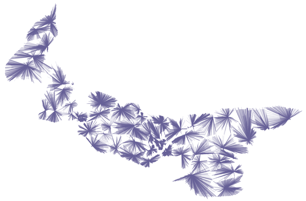
A map showing the distance from each address on Prince Edward Island to the corresponding polling station
Visualization by Peter Rukavina from Ruk.ca

For those not following along with the democratic experiments of Canada’s smallest province, this next election is paired with a referendum on proportional representation. While it is as much advocacy as information, I found this 8-minute explanation of the Mixed-Member Proportional (MMP) electoral system in question to be helpful.


Leave a Reply

Your email address will not be published. Required fields are marked *

Your post must include a link to this post.

How does this work?
Write a response on your own website and include a link to this post. Then submit your response’s URL here. Your response may appear here after moderation. To update or remove it, edit or delete your original post and submit the same URL again. Learn more about Webmentions.