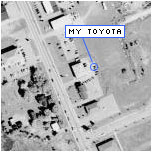
Prince Edward Island’s Department of Agriculture and Forestry has photographed every inch of the Island from about 9000 feet. The provincial government website has combined these photos with their powerful mapping plugin to make for an amazing way to view the Island.
You’ll need to download the Autodesk MapGuide plugin and the browsing can be slow (it’s always “requesting dynamic map layers”) and the images are large (between 150Kb and 200Kb each) but it is worth it.
See the photos »
Note: You have to double click on the photo dots to open the images.
Big ups to Peter at Reinvented for this.